- Location
- Near Meppadi, South Wayanad
- Timings
- 7:00 am to 5:00 pm, last entry around 3:00 pm
- Entry fee
- Trekking permit around ₹400 to ₹500 per person — confirm locally
- Ideal duration
- 4 to 6 hours round trip to the heart-shaped lake
- Distance from Jungle Edge
- Roughly 45 km, about 1 hour 30 minutes by road
- Best season
- September to May, avoiding peak monsoon
- Difficulty
- Moderate to strenuous, steep in sections
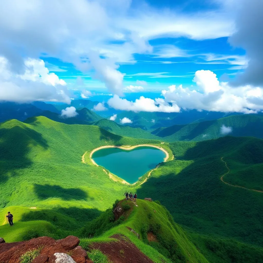
At 2,100 metres, Chembra Peak is the tallest point in Wayanad, and the trek up its grassy shoulders is as much about the walking as the summit itself. The trail rises through shola forest, tea estates and open grassland before arriving at a small, naturally heart-shaped lake that has become the mountain's signature image.
Most visitors do not attempt the true summit, since permits beyond the heart-shaped lake have historically required special forest department clearance and a guide, and access rules have shifted over the years depending on conservation concerns. The lake itself, roughly two-thirds of the way up, is where the vast majority of treks conclude, and it is more than enough to justify the climb.
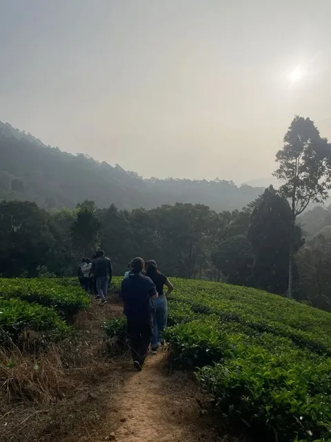
The approach begins near Meppadi, a small town in southern Wayanad known for its tea gardens, and the trailhead itself sits at the edge of cultivated slopes before the terrain turns wilder. Expect a genuine physical effort rather than a casual stroll, particularly in the switchback sections after the first viewpoint.
History
Chembra has long been significant to the indigenous communities of Wayanad, who have inhabited these hills for generations and hold traditional knowledge of the forest that surrounds the peak. The mountain's grasslands and shola forest patches form part of a wider Western Ghats ecosystem recognised for its unusual biodiversity, including several plant species found nowhere else.
In more recent decades, Chembra developed into one of Kerala's better-known trekking destinations, drawing hikers initially through word of mouth and later through wider tourism promotion of Wayanad as a hill destination distinct from the more crowded circuits further south. Forest department oversight of the trek has tightened over time, largely in response to environmental strain from growing visitor numbers.
Highlights
The heart-shaped lake is the trek's best-known feature, a small natural pool said never to dry up completely even in peak summer, its outline visible clearly from slightly elevated ground nearby. Beyond the lake, the open grassland ridges offer sweeping views across the Wayanad plateau, with the peaks of the Western Ghats layered into the haze on clear days.
- The heart-shaped lake, the trek's most photographed landmark
- Panoramic ridge-top views across tea estates and forested valleys
- Shola forest patches with distinct, cooler microclimates partway up the trail
- Occasional sightings of Nilgiri langurs and a wide range of montane bird species
The final stretch of grassland, wind-scoured and empty of trees, feels closer to a highland moor than anything typically associated with tropical Kerala.
Timings
- Trekking generally permitted 7:00 am to 5:00 pm
- Last entry for new trekking groups is usually around 3:00 pm
- Early starts, ideally by 8:00 am, are strongly advised given the trek's length
- The trek may be suspended entirely during heavy monsoon spells for safety
Entry Fee
- Permit fees have historically ranged around ₹400 to ₹500 per person — confirm locally as rates and rules change
- A local guide is typically compulsory and usually included in or added to the permit cost
- Group size limits may apply on any given day, so arriving early improves your chances
- Camera fees, where applicable, are usually nominal
Best Time to Visit
The window from September through to early May generally offers the best combination of clear trails and manageable weather, with December to February being particularly pleasant for the exertion involved. The monsoon months bring dramatic green cover to the grasslands but also slippery, potentially dangerous trail conditions, and the trek is sometimes closed altogether during the heaviest spells.
Midsummer treks, from March into May, are feasible but demand an early start to avoid trekking during the hottest hours, since there is minimal shade on the upper grassland sections.
Photography Tips
The heart-shaped lake photographs best from the slightly raised ground just beyond it, where its outline reads clearly against the surrounding grass. Morning light brings a soft, low-angle glow across the ridgelines, while midday tends to flatten the landscape's contours, so an early trek pays off doubly, in comfort and in photographs.
Given the physical demands of the climb, pack light: a single versatile lens, a lightweight tripod if you plan to shoot the ridge at dawn, and a dry bag for camera gear given the possibility of sudden weather changes at altitude.
Nearby Attractions
- Meppadi's tea estates, worth a slow drive-through on the way to or from the trailhead
- Soochipara Falls, roughly 30 to 40 minutes away, a good pairing for an active day out
- Kalpetta town, for supplies, fuel and a wider choice of eateries
- Pookode Lake, a relaxed contrast for the afternoon after a strenuous morning trek
Travel Tips
- Wear proper trekking shoes; the grassland sections can be slick with dew even on dry days
- Carry at least 1.5 to 2 litres of water per person, since there are no reliable refill points en route
- Sun protection matters more than it might appear, given long stretches without tree cover
- Book your guide or permit slot a day ahead where possible, particularly in peak season weekends
- Carry a light rain jacket regardless of season, as weather at altitude can shift quickly
Staying Near Chembra Peak
Jungle Edge Resort lies roughly 45 km from the Chembra trailhead, around an hour and a half by road from Thalapuzha, Mananthavady, making an early breakfast departure the practical approach for a full trekking day. Many guests treat Chembra as the anchor of a single big-effort day, returning to the resort by late afternoon for the kind of unhurried recovery a forest-edge property does well.
After a demanding climb, the resort's pool and quiet balconies overlooking the tree line make for a natural place to unwind, with the day's exertion balanced against an evening of comparatively little else to do but rest.
Find it on the map
Get directionsFrequently asked
Related guides
Attractions
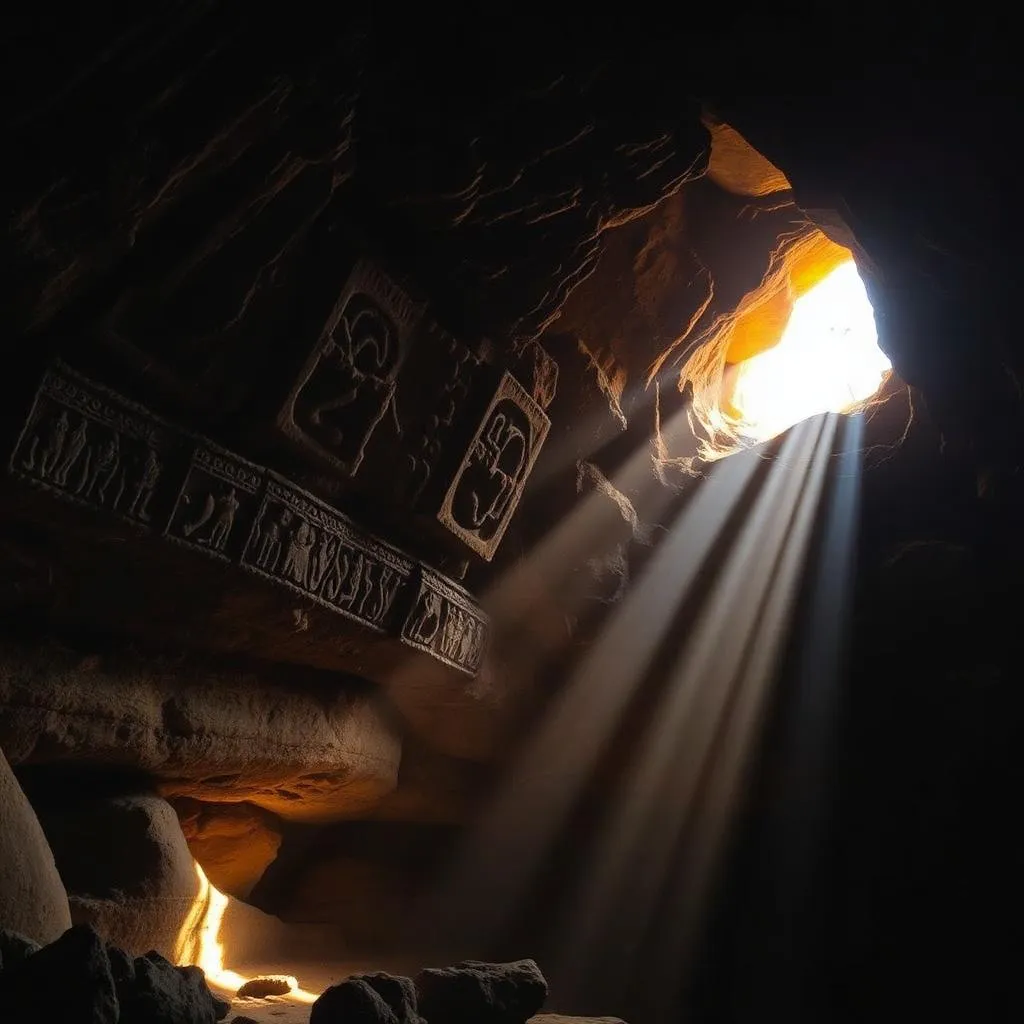
Edakkal Caves, Wayanad: Prehistoric Rock Art and a Cleft in the Ambukuthi Hills
Waterfalls
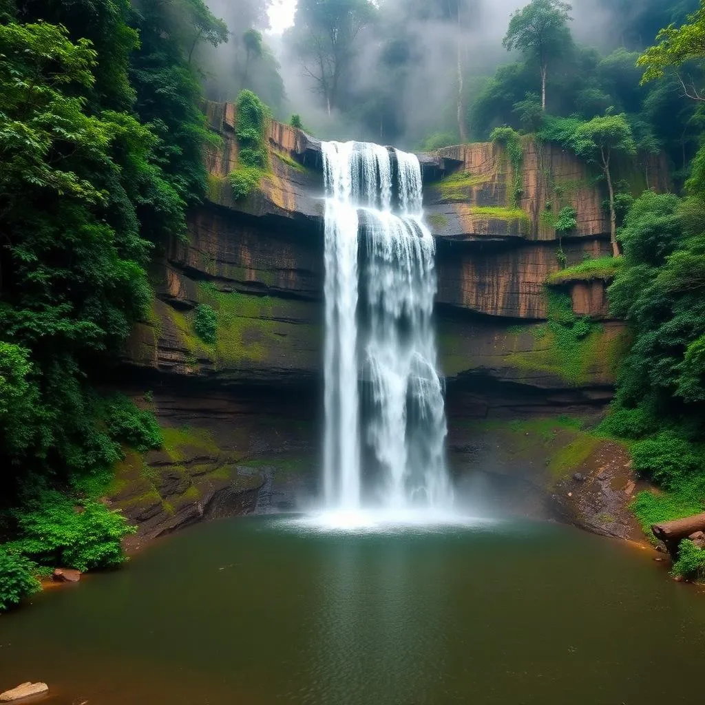
Soochipara Falls, Wayanad: A Three-Tiered Cascade for Swimming and Sightseeing
Lakes & Dams
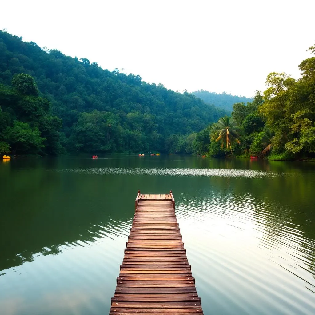
Pookode Lake: Wayanad's Freshwater Lake Beneath Vellarimala
Itineraries
3-Day Wayanad Itinerary: A Fuller, Unrushed Plan
Plan the rest of your stay
Balcony rooms, single, twin and premium cottages
Nature walks, campfires, pool evenings
The full hub of attractions, seasons and itineraries
The Jungle Edge journal
Why guests choose Jungle Edge
A stay surrounded by forest and hills
Cottages and activities for every age
Drive times, airports and directions
From the journal
Rest Easy After the Climb to Chembra
Return from Wayanad's highest trek to a quiet forest-edge stay at Jungle Edge, just over an hour from the trailhead.
Thalapuzha, Kanyamoola, Valad (PO), Mananthavady, Wayanad